At StatMap Ltd, we are committed to keeping our users informed and empowered with the latest advancements in our suite of products. We are excited to announce the launch of StatMap Insights, a dedicated section on our website featuring videos and blog posts about new features and updates across all our offerings.

Earthlight: Beacon
Start parameter can be added to identify a specific location within the map base.

Earthlight: Suggest Layer Table Deletion
Tool which automatically suggests deleting the layer table at the same time as the layer, rather than leaving it to the user to decide.

Earthlight: No URL in PDF
Adding a relevant link within a PDF for a specific location within the map.

Earthlight: Rendering Profiler
Tool which shows which layers are taking a long time to render within the map. Large layers are easily identified.

Earthlight: Show DB Schema
The option to show DB schema to enable direct interrogation of the exact data type of each column in a given SQL server database table.
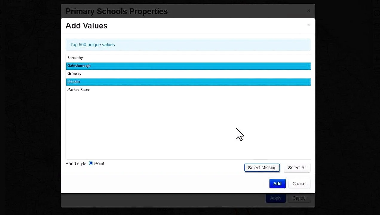
Earthlight: Select Missing
Within Category styling, an easy way to add in missing values to the list of styled geometry.

Earthlight: Batch Printing
Allows users to automate the printing of individual records, generating one pdf per record.


Default Units
The default measurement units for length and area, currently set at metres/kilometres and hectares, can be changed in the General tab of the Global User Settings.